Brethren, as you may know already, I am rendering military service in the Outremer country of Afghanistan – OK, so not a part of the original “Outremer” but you get the picture.
Speaking of pictures, earlier this week I was able to leave the safe confines of my installation to network with people elsewhere, and I took 11 aerial photos. I am reproducing three of them here, along with a few brief comments.
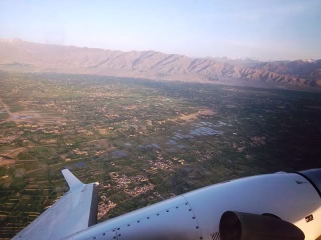
This is the Bagram district of Afghanistan. This area is a high desert but melting snow from the nearby Hindu Kush generates enough water for the Afghan to build canals and irrigate large expanses of land.
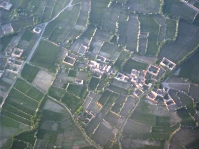
Those little squares and rectangles you see there are the typical and traditional Afghan homes. People live in these enclosed compounds surrounded by 6-foot high walls. I think of these homes as little metaphors of the country: inward-looking, suspicious of outsiders, oriented to home and hearth, afraid of the outside world, and tied to the land.
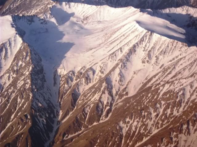
The Hindu Kush, the mighty mountain range that surrounds so many places around the country. Afghanistan holds great potential for echo-tourism: hiking, mountain climbing and landmine-clearing. If it weren't for the wars and the fact that Afghans tend to look inward, this country could be a tourism paradise.
Check out the other 11 aerial photos. Finally, please pray for the safety of all coalition troops, of US troops in particular, and pray for peace in Afghanistan.